The lad and I started a new geography course this morning.
It's called Mapping the World with Art. Once we got past the angst of "do your best" (which in my boys' mind means I'm ordering him to do things perfectly and that's just the worst thing in the world).. so we needed to talk our way through that. But anyways, once we got over that, this went over really really well! WOOT WOOT! Good choice mom! (sorry, but sometimes I DO have to give myself a pat on the back).
The course is organized like so.
Lesson.
Map to draw.
Activity to do.
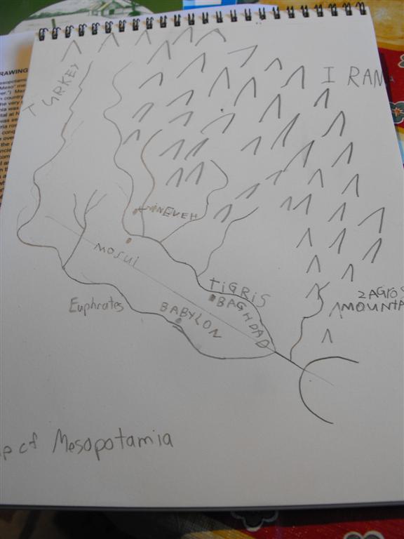
Our lesson today was on early maps. The lad was fascinated by the ocean currents (reeds) and island (shells) maps of the polynesians. If I could figure how to make one of those I would indeed! :) Below is my lad's map of Mesopotamia. It's hard to draw a map accurately and the lad was all stressed out about it until I started showing him that even the map we were given as an example doesn't have the river exactly like real life, it just shows the major bends and the bigger towns and of course the mountain range. Drawing the mountains was just plain fun. :) I did some of the labeling, the lad did the rest... and he wants you to notice how he is making Iran.. I >>> RAN. :) He just thought it was funny. :)
It's called Mapping the World with Art. Once we got past the angst of "do your best" (which in my boys' mind means I'm ordering him to do things perfectly and that's just the worst thing in the world).. so we needed to talk our way through that. But anyways, once we got over that, this went over really really well! WOOT WOOT! Good choice mom! (sorry, but sometimes I DO have to give myself a pat on the back).
The course is organized like so.
Lesson.
Map to draw.
Activity to do.
Our lesson today was on early maps. The lad was fascinated by the ocean currents (reeds) and island (shells) maps of the polynesians. If I could figure how to make one of those I would indeed! :) Below is my lad's map of Mesopotamia. It's hard to draw a map accurately and the lad was all stressed out about it until I started showing him that even the map we were given as an example doesn't have the river exactly like real life, it just shows the major bends and the bigger towns and of course the mountain range. Drawing the mountains was just plain fun. :) I did some of the labeling, the lad did the rest... and he wants you to notice how he is making Iran.. I >>> RAN. :) He just thought it was funny. :)
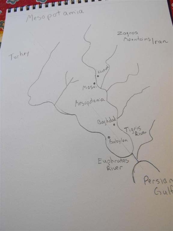
I gave myself a go at it as well .... oops.. I took my picture before I added the mountains, rest secure.. I DID add them. :)
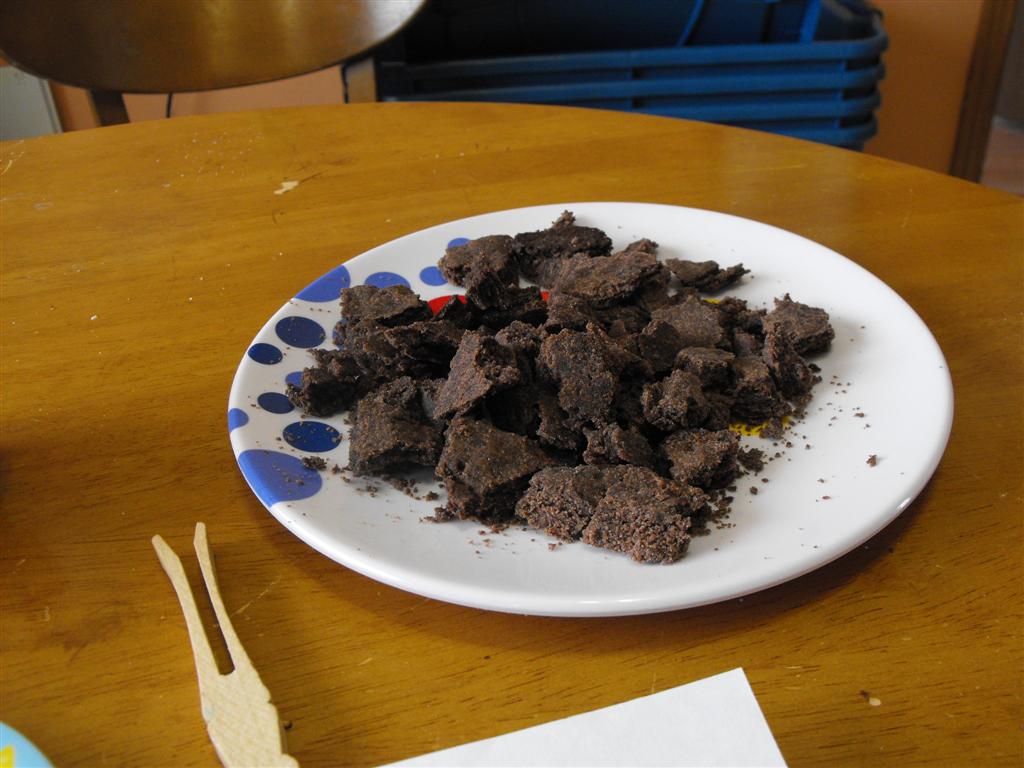
Our activity today had us making "clay" tablets with mesopotamian drawings on them. In fact it was edible art which we thoroughly enjoyed putting together and working with. :) We did this right before lunch.
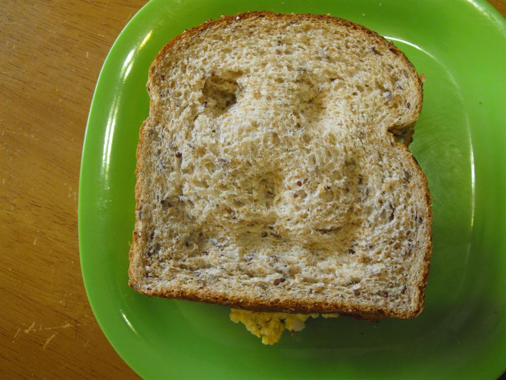
My lunch was egg salad sandwich with some unfortunate help from a nine year old... Needless to say my lunch talked to me until I finally ate it's brain... :)
The lad's lunch was: edible map. Mom.. is it okay if I have another lunch later? I might be hungry again, cause I can't eat all the art Mom. (I said sure, as long as it's before 330).
Linking this post up below:
 |  |  |


 RSS Feed