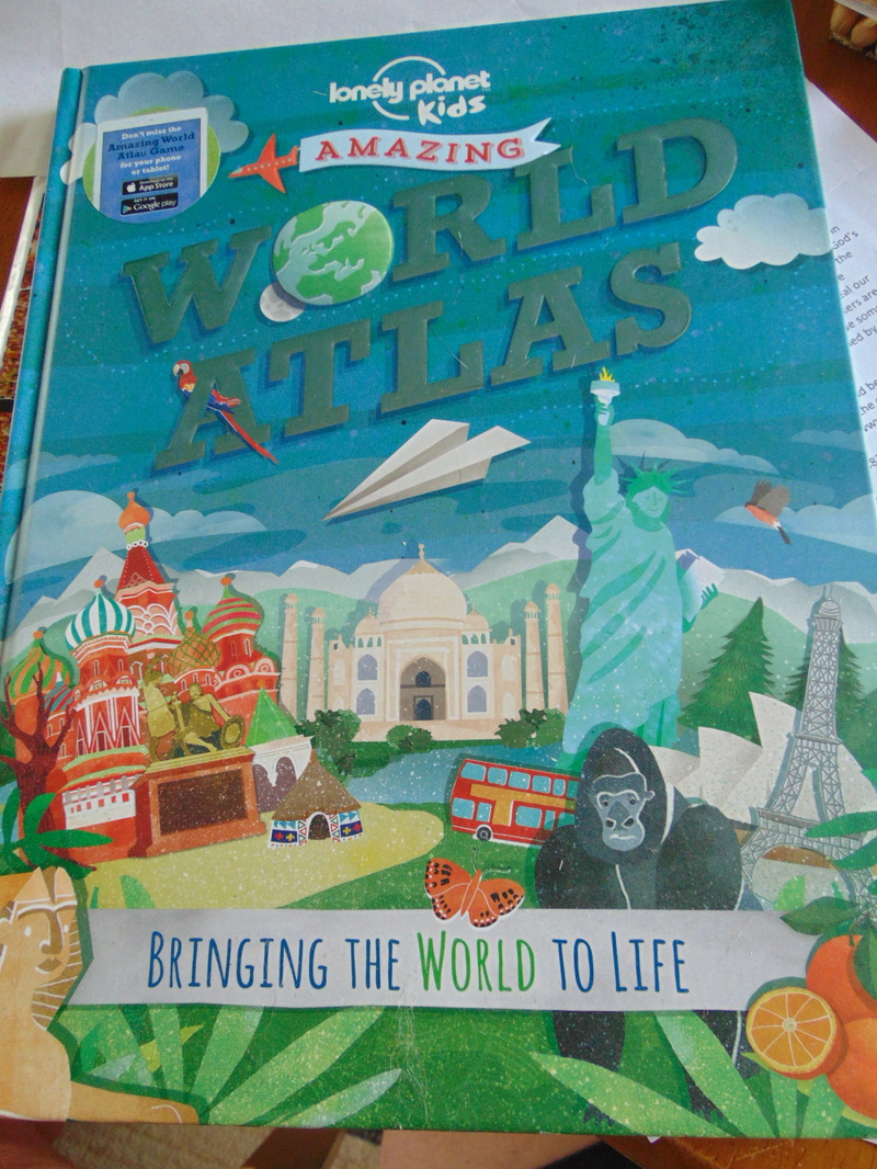
I think I have found our next geography book! One of the things the lad and I like to do at night is read books before he goes to bed. We have an animal book, a couple of fiction books, and an encyclopedia/information type book that we read. It's a nice together time for us. Anyways, the book? Amazing World Atlas by Lonely Planet Kids. It's a great atlas for children (and their moms!) :)
Now...you and I know atlases right?
Maps of the world, cities highlighted and maybe some cutouts showing an area up close.
This children's atlas is different.
YES, it has maps. :)
Not what I would call full of close details.
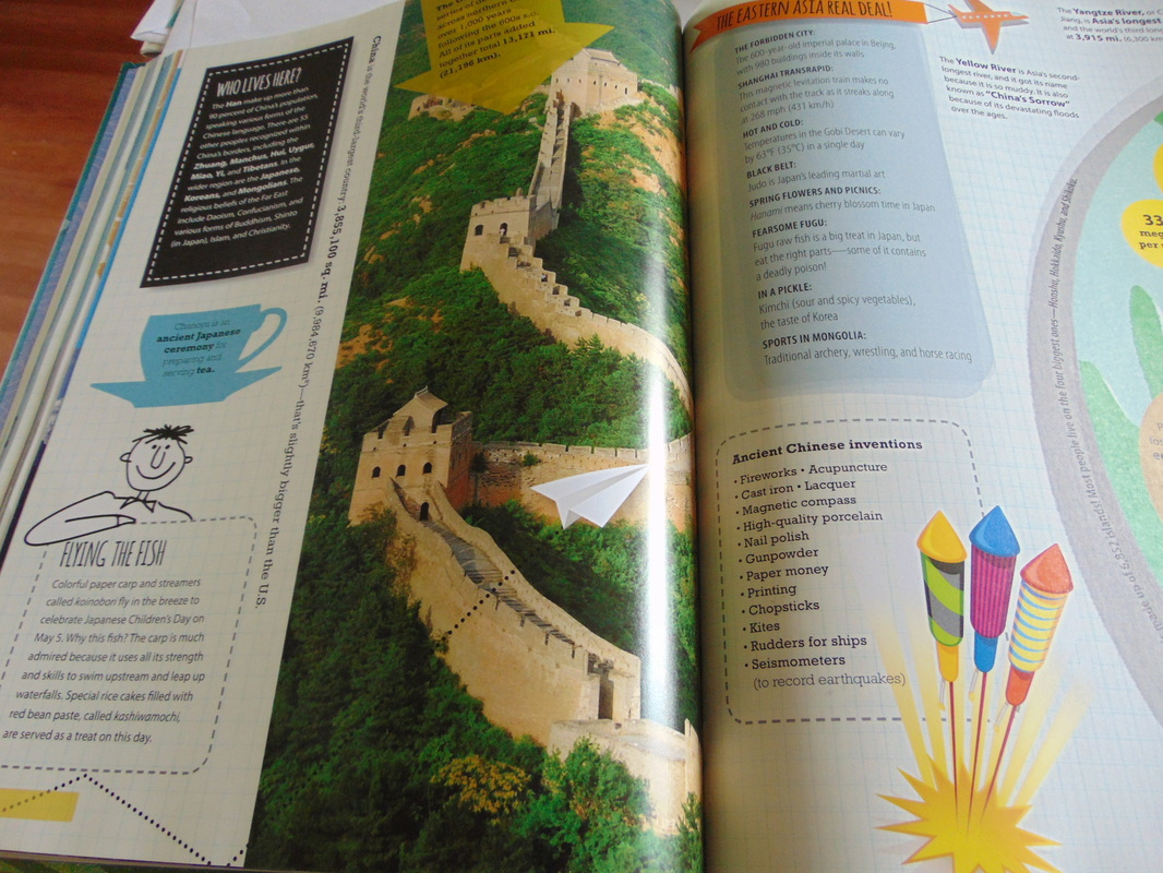
But that's not the purpose of this atlas, this atlas is meant to show the world to the reader. To give the basics of the land mass, but to say, this is what is neat about this country. Europe has snow and mountains and olive gardens and sunny beaches. It has it all. So this map includes interesting pictures to give the highlights of the given area. Two pages per land mass. Below is an example of an introductory page:
Maps of the world, cities highlighted and maybe some cutouts showing an area up close.
This children's atlas is different.
YES, it has maps. :)
Not what I would call full of close details.
But that's not the purpose of this atlas, this atlas is meant to show the world to the reader. To give the basics of the land mass, but to say, this is what is neat about this country. Europe has snow and mountains and olive gardens and sunny beaches. It has it all. So this map includes interesting pictures to give the highlights of the given area. Two pages per land mass. Below is an example of an introductory page:
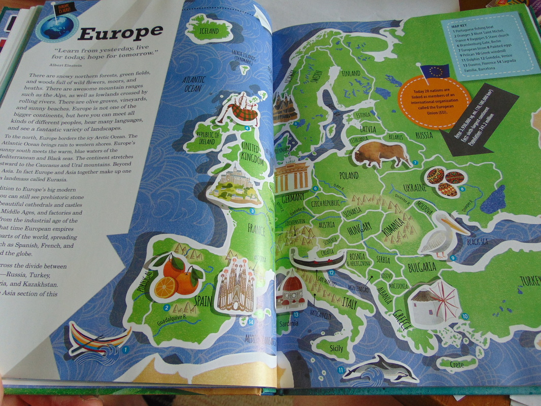
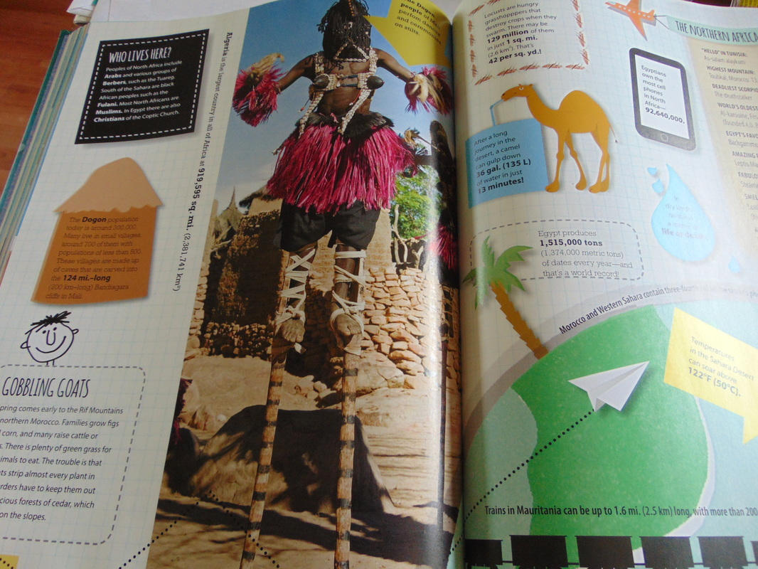
And here is an example of a secondary page. Cities are pointed out as well as interesting sites. If the area is for say Europe, additional pages follow breaking it into section like northern, central and southern Europe.
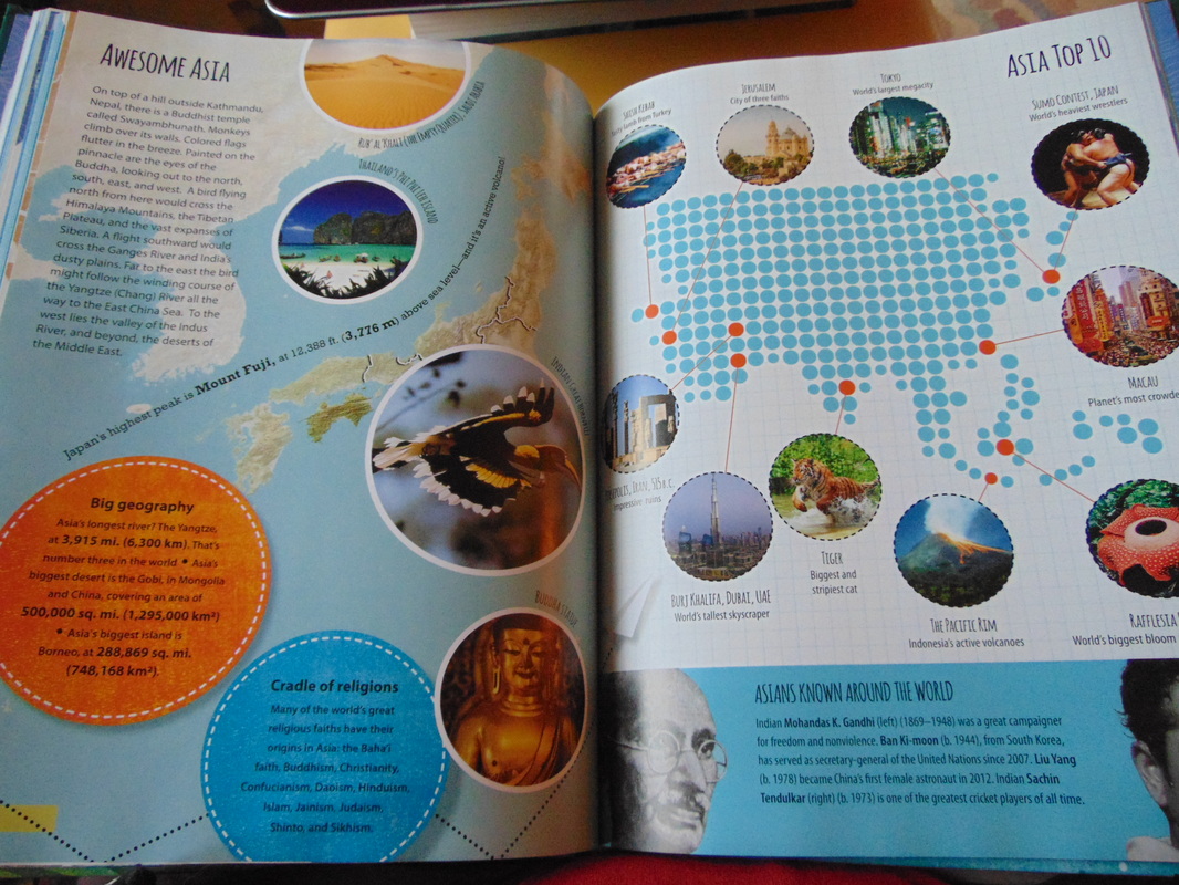
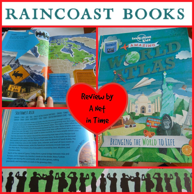
As you can see there are lots of pictures, and tons of interesting information. More examples follow.
|
|
Going through this atlas your child will learn major holidays, people groups, interesting artifacts, population and so much more. This atlas is jam-packed with full colour images, information, maps and more. A cornucopia of geographical fun!
|
The Kids Amazing World Atlas
Bringing the World to Life Lonely Planet 9.36 x 12.1 · 160 pages Ages 8-12 years |
You can find this book in the USA here: The Lonely Planet Kids Amazing World Atlas: Bringing the World to Life and in Canada here: Lonely Planet The Kids Amazing World Atlas 1st Ed.: Bringing the World to Life
 .
.


 RSS Feed